Credit: Andrews Forest LTER by Mark Schulze via CC-BY
This post is part of the LTER’s Short Stories About Long-Term Research (SSALTER) Blog, a graduate student driven blog about research, life in the field, and more. For more information, including submission guidelines, see lternet.edu/SSALTER
Wildfires and Snowpack
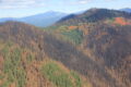
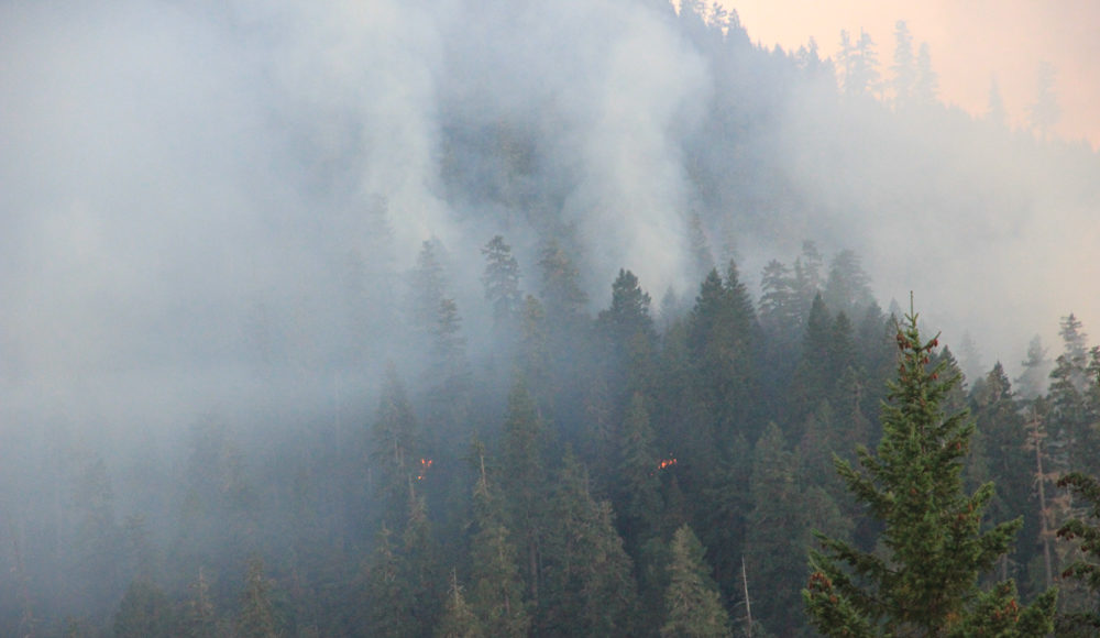
As wildfires continue to reshape forested landscapes across the western United States, understanding their impact on snowpack and hydrologic systems is increasingly important. Snow is a key component of the water cycle in many mountain regions, and changes in how it accumulates and melts can directly affect the availability and timing of downstream water resources, with inter-annual variability and long-term changes influencing stream flow timing, water supply, and ecosystem processes. Supported by a National Science Foundation (NSF) grant, our team, CryoSIGHT (The CryoSphere Interactions and Geospatial Hydrology Team) along with colleagues at Oregon State University (OSU), is working to address this challenge by studying how snowpack and hydrologic conditions respond to wildfire. Our project focuses on the aftermath of the 2023 Lookout Fire at the H.J. Andrews Experimental Forest LTER in the western Oregon Cascades.
The project is unique in several ways. Wildfires rarely occur within long-term research sites that have decades of pre-fire data, such as the Andrews LTER, where long-term ecological research datasets provide critical baseline conditions for understanding change. Additionally, the influence of forest canopy on snow accumulation and melt differs between colder and warmer forests; the Andrews LTER spans a warmer, maritime forest regime, meaning fire impacts likely vary relative to colder, continental forests. By leveraging pre-fire and existing field data, the team is expanding new snow observations such as snow depth, snow water equivalent (SWE), density, and spatial measurements, across the Andrews LTER to better understand how fire severity shapes snow processes across elevations. Like most fieldwork, this meant a mix of planning, on-the-fly problem solving, and a bit of last-minute adjustments.
Site Selection and Fieldwork
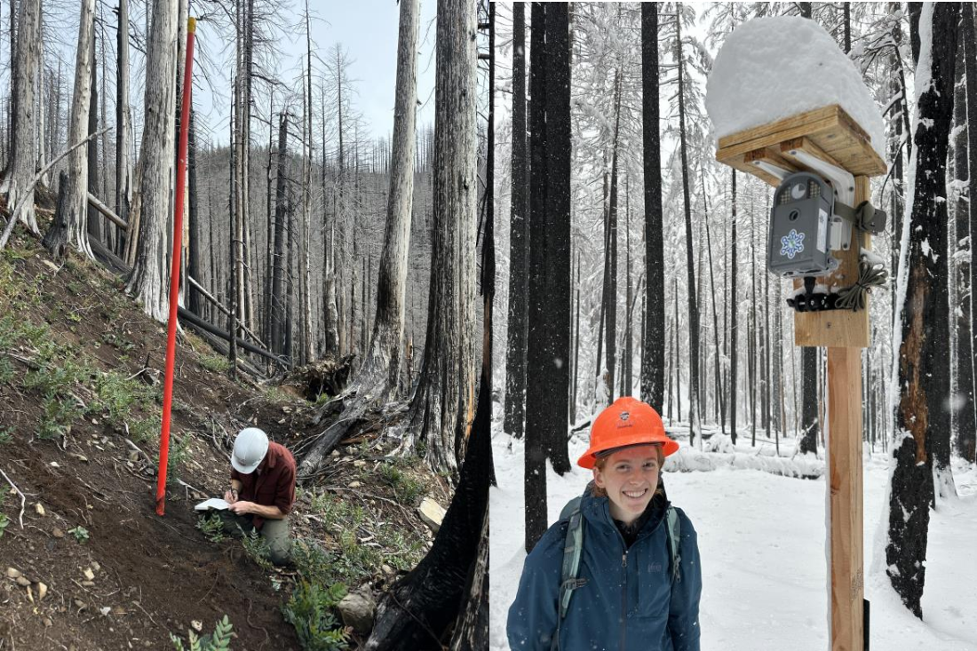
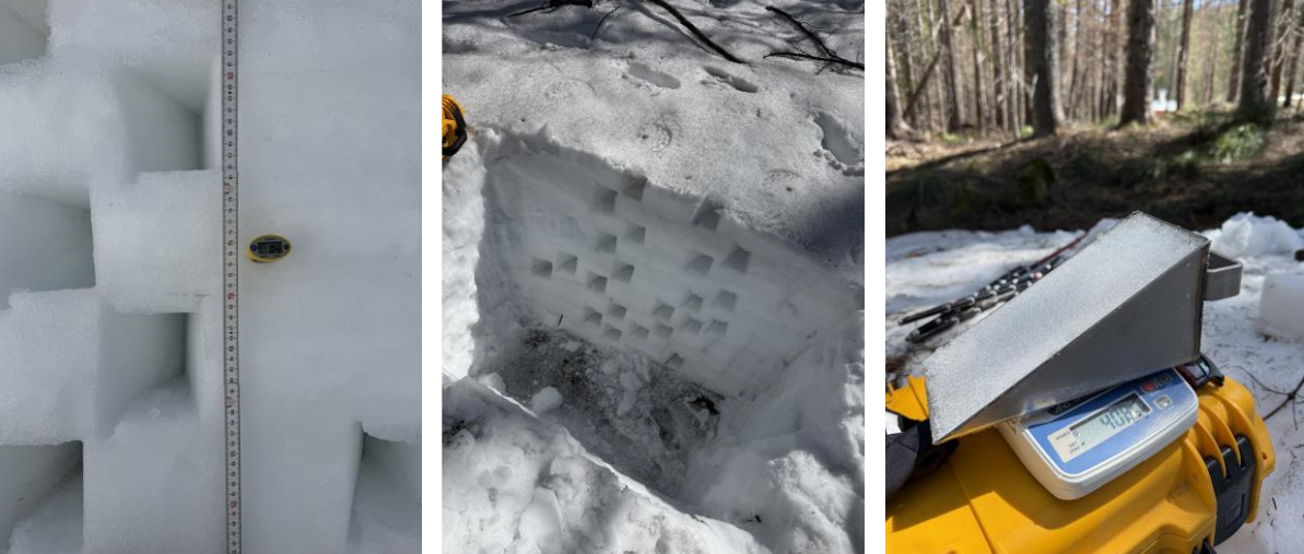
In fall 2024, we began by identifying suitable locations across elevation gradients that represent varying burn conditions and canopy structures. At these sites, we installed time-lapse cameras and snow depth poles to continuously monitor snow accumulation and melt throughout the winter and spring. These cameras and snow depth poles form a critical backbone of the project, providing continuous, distributed measurements that help capture seasonal transitions and complement field-based measurements. Once winter conditions set in, we initiated monthly to bi-monthly field campaigns from February through May 2025 to collect in situ snowpack observations. At each visit, our team collected detailed measurements across several sites with varying burn severity. These included snow pits (snow depth and density), which are essential for estimating snow water equivalent (SWE) and understanding snowpack structure and melt processes. We also conducted transects using different types of probes to measure snow depth and capture spatial variability across forest and burn conditions. In addition to these point-scale observations, we deployed drone-based lidar surveys. These surveys allow us to map snow depth across study plots at a high spatial resolution. Incorporating lidar into the field site design enhances our ability to study how fire-altered forest structure influences snow distribution spatially.
Credit: Bareera Mirza
Credit: Bareera Mirza
Teamwork
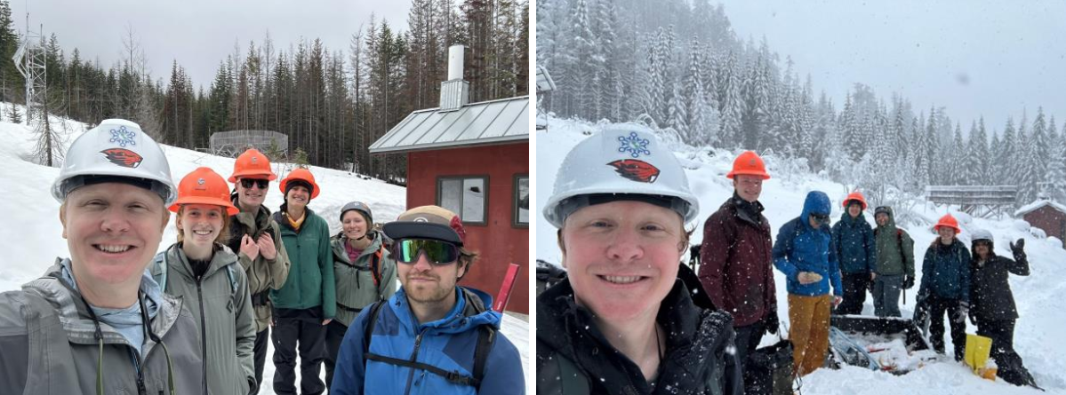
Establishing field sites and collecting measurements is inherently a team effort, and this project has brought together researchers at multiple levels. Our field crews varied in size and experience level across campaigns and were led by CryoSIGHT director and OSU Assistant Professor, Dr. Mark Raleigh, alongside graduate students and undergraduate researchers. Each team member contributed to data collection, instrument maintenance, and site logistics. During winter 2025, the team often required traveling several miles through snowy, forested terrain to reach study sites. Digging snow pits could take several hours, particularly in deep snow where pits sometimes reached up to 2 meters, while at other sites we encountered very shallow snowpacks. Conditions could also change rapidly, from snowfall one moment to clear, sunny skies the next, requiring coordination, adaptability, and a shared commitment to the project. In contrast, winter 2026 has presented a different set of challenges, including anomalously low snowpack conditions and new drone regulations. Despite these hurdles, the project is ongoing and will continue for at least one more winter field season to track how maritime snow is impacted in the years following wildfire.
Through these combined efforts, we have established a multi-scale observational field site that integrates in-situ measurements, continuous monitoring, and remote sensing. As part of CryoSIGHT, we view this field site not just as a data collection effort, but as an investment in long-term scientific understanding of how wildfire alters snowpack dynamics and, in turn, the timing and availability of water within the mountain water cycle. By creating a well-instrumented and repeatable observation framework, we are contributing to broader efforts to understand how changing forest conditions influence snow dynamics and water resources in a warming climate
Credit: Bareera Mirza
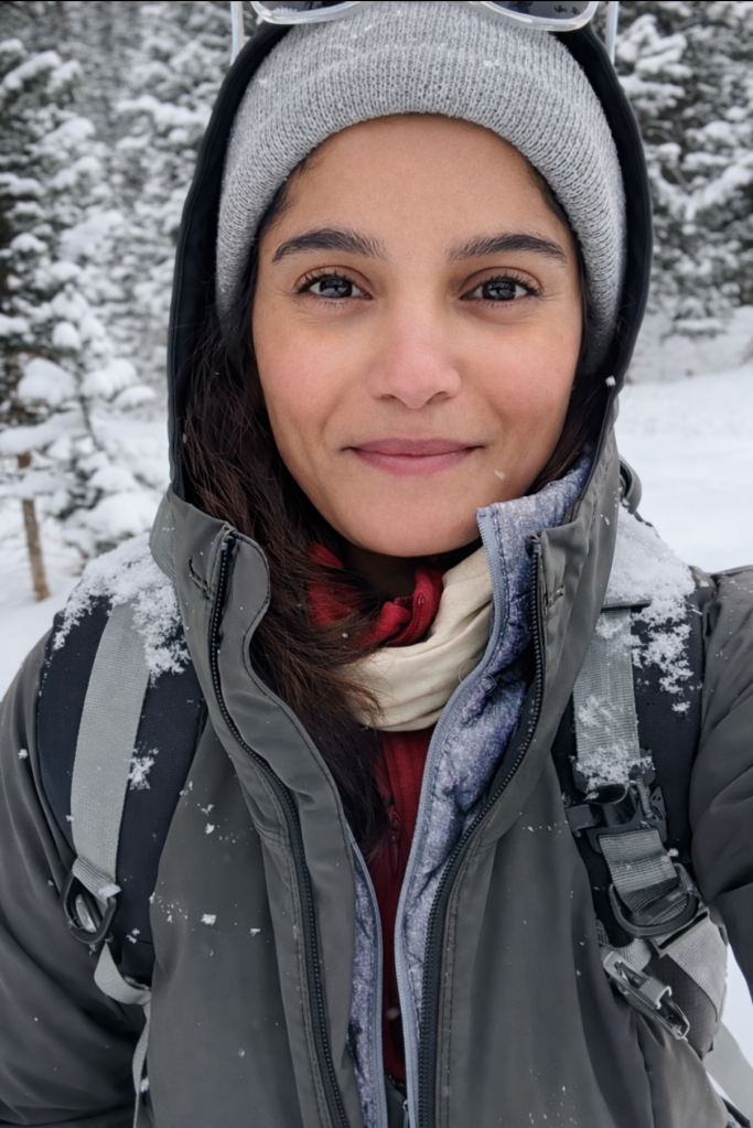
I’m Bareera Mirza, a Muslim, brown snow scientist from Karachi, Pakistan, and a PhD candidate at Oregon State University in Dr. Mark Raleigh’s CryoSIGHT Lab. My research focuses on understanding snow characteristics using data assimilation, snow and hydrologic modeling, satellite remote sensing, and field measurements. I have conducted research and fieldwork across Alaska, Colorado, and Oregon. Beyond science, I’m an avid hiker, a yoga teacher in training, and a passionate cook.
Email: mirzaba@oregonstate.edu