Author: Stephanie Reiter
eLTER TA site: Negev
Research stay dates: 09/16 to 01/17
The water bound in our soils, in particular soil moisture, influences plant growth, water infiltration, flood regulation and even climate patterns. Although on a global scale the overall quantity of soil moisture is small (<0.05%), it influences ecological, hydrological and meteorological processes.
Soil moisture content is an essential variable for eco-hydrological modelling or irrigation management as it provides the main water storage for plant uptake. Although the precise prediction of soil moisture over various scales is of high interest, its measurement and quantification is still challenging. Satellite remote sensing techniques are able to depict soil moisture patterns over large areas but a major drawback of these measurements is a shallow penetration depth of only a few centimeters of topsoil. Point measurement techniques using in-situ measurements can be interpolated to bigger areas but the spatial variability of soil moisture may complicate the upscaling; the vertical measurement depth of commonly used soil moisture in-situ probes is restricted to the topsoil layer as well.
Cosmic-ray neutron sensing (CRNS) is able to close the gap between large scale satellite remote sensing and point measurements, allowing soil moisture to be quantified non-invasively at the intermediate scale, e.g. for a small watershed or field site. The method uses measurements of cosmic-ray neutrons in a cosmic-ray neutron probes footprint, its horizontal (circular) and vertical measurement area. The cosmic-ray neutron particles are mainly absorbed and moderated by hydrogen. As a result, these neutrons are highly sensitive to the concentration of water in soil. This means under wet soil conditions the probe will detect less neutrons than under dry soil conditions. Especially in arid and semi-arid regions where water is scarce, it is critical to better understand soil moisture dynamics. That is why we set up a research project in a dryland region on the European Long-Term Ecosystem Research (eLTER) site in the Negev Desert, Israel.
In September 2016, I traveled from Berlin to Tel Aviv with a 32 kg heavy metal box containing a cosmic-ray neutron probe, a massive soil driller and an extra-large hammer. For normal people these things seem to be peculiar to travel with, but not so for a Geoecologist.
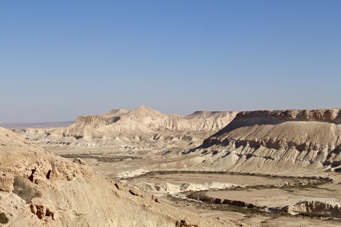
Not speaking any Hebrew, I had to figure out how to get from Tel Aviv to the Midreshed Sde Boker, an educational center in the middle of the Negev Desert, where I independently conducted the research on soil moisture measurements for my Master thesis. Fortunately, Israelis are extremely helpful. Several young soldiers helped me getting to Sde Boker with the neutron detector. And wow, what a place. A green oasis overviewing the Martian-like desert landscape of the Sde Zin valley, home to a small but flourishing community of about 1800 people, many of them students and researchers of the Ben-Gurion University of the Negev and its affiliated institutes there.
Desert research in the arid environment of the Negev has a long history, starting in the late 1950s with the establishment of the close-by first experimental farm near Avdat, where Michael Evenari and his colleagues were keen to investigate ancient and innovative practices to meet the challenges of Israeli agriculture. The story of Evenaris farm for runoff and desert ecology research is described in his personal and scientific narrative The Negev: The challenge of a desert, giving an idea of historical environmental research before satellite remote sensing, computer models or neutron probes were invented. When I visited the farm, dust and sand covered books in the library and piles of hand-drawn maps were scattered here and there. The old measurement instruments on the roof of the now abandoned building were fascinating to me, raising my spirits to be a desert researcher.
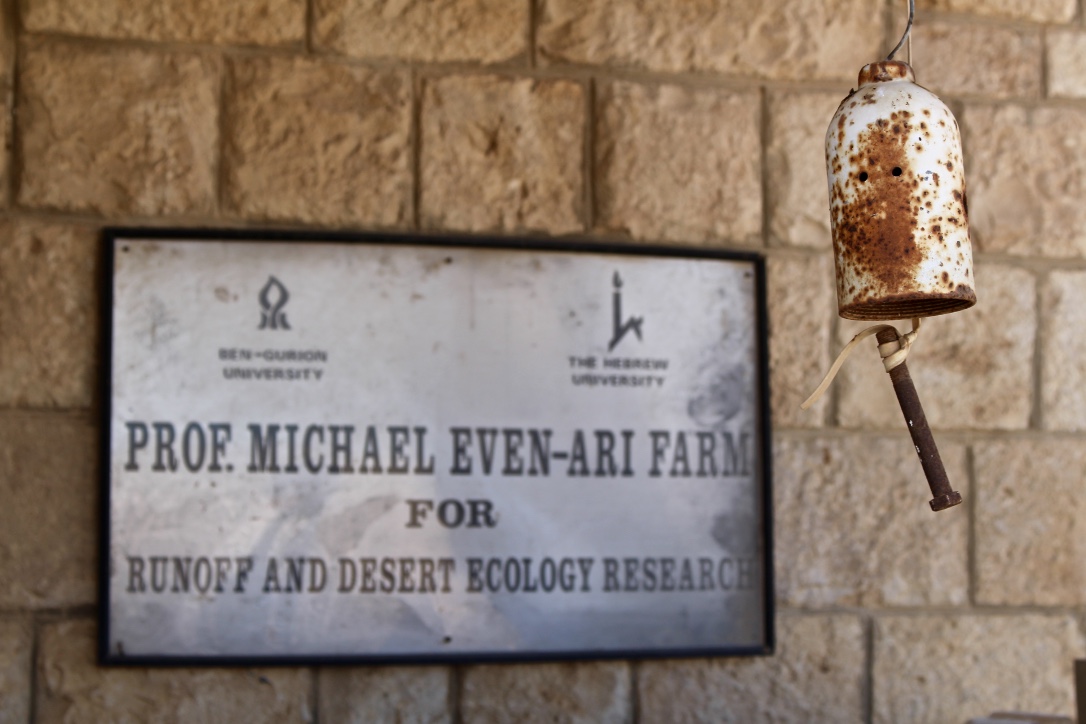
At the Evenari desert farm in Avdat, Israel
Credit: Stephanie Reiter
Basically, what I wanted to do was measure soil water in the desert with cosmic-ray neutrons. My research aimed at quantifying soil moisture over tens of hectares using a combined approach that comprised the novel physical science based CRNS and hyperspectral remote sensing of vegetation. I installed the cosmic-ray neutron probe on the eLTER field site next to the Sde Boker campus and started measuring shortly after my arrival towards the end of the dry season in mid-September.
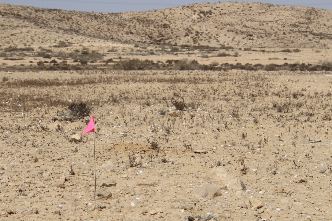
Sampling location on the eLTER research site near the Sde Boker campus, Israel
Credit: Stephanie Reiter
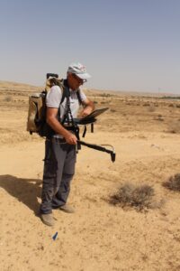
Alexander Goldberg with the field spectrometer
Credit: Stephanie Reiter
My daily routine would include walking through the heat to the field site to check the probe and transfer data to a computer. In order to convert the neutron intensity into soil moisture, I needed to conduct three calibration campaigns that consisted of the collection of soil samples in the CRNS probes’ circular footprint area. It turned out that taking soil samples up to a depth of 40 cm is a real challenge in the concrete like, dry desert soil. Although I had helping hands from my colleagues Kristina and Haijun, and from the lab technician Alexander Goldberg, we were not able to use the special soil driller that I brought from Germany to extract the samples. We adjusted the sampling method to the field conditions and used a spade to dig holes and extract the samples by hand for the laboratory analysis.
On seven of the days during my research stay, we conducted hyperspectral measurements of soil and vegetation on the site using a heavy field spectroradiometer. The field work in the heat of the day with temperatures rising up to 40 degrees Celsius and no shade was hard but I always enjoyed the rides to the site in the electric golf cart, when we could get it.
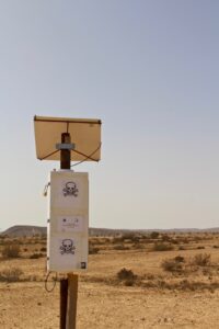
The cosmic-ray neutron probe in the field – powered by the sun
Credit: Stephanie Reiter
My research at the eLTER site in Israel showed that CRNS is a reliable technique to measure soil moisture content (even in minute amounts) in a natural dryland environment with shrub vegetation. Area average soil moisture values could be derived up to a penetration depth of 46 centimeters over an area of about 28 hectares reliably. The approach to combine CRNS data with remotely sensed vegetation parameters in order to obtain comparable values of soil water content needs to be tested in further (desert) studies. By the end of my research, the vegetation grew only sporadically on the field and I was not able to detect a clear signal of vegetation in the hyperspectral data. Ideally, spectral data can provide vegetation indices such as the Normalized Difference Infrared Index (NDII), a proxy to assess root zone soil moisture which is able to visualize the natural interaction between precipitation events, soil moisture and leaf water content.
I enjoyed my research stay in Sde Boker, learned a lot about Israeli culture and hummus, and met wonderful people from all over the world. In the evenings, I would leave my air conditioned student apartment, and take a five-minute walk to the cliff where the wide view over the Zin Valley never ceased to amaze me, and where the night sky was so clear that I could see the far-far away galaxies sending out continuous streams of cosmic ultra-high-energy particles. My thoughts would drift through space and time like the cosmic-ray neutrons that hit my neutron probe.
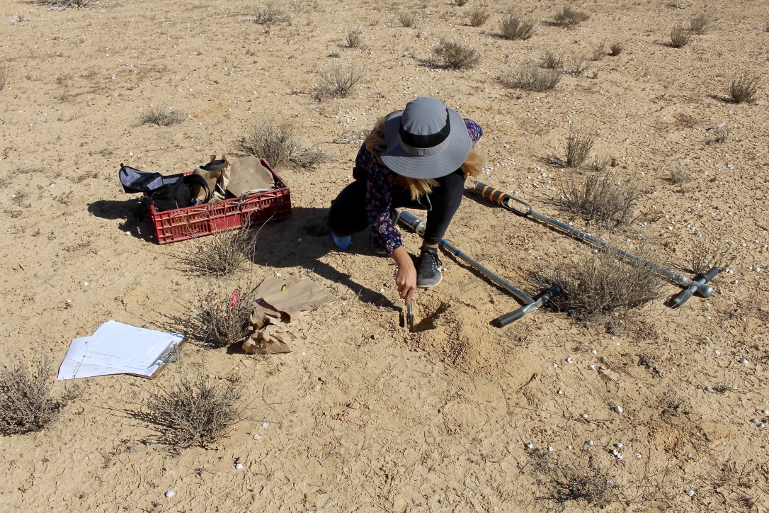
Me collecting soil samples in the field
Credit: Stephanie Reiter
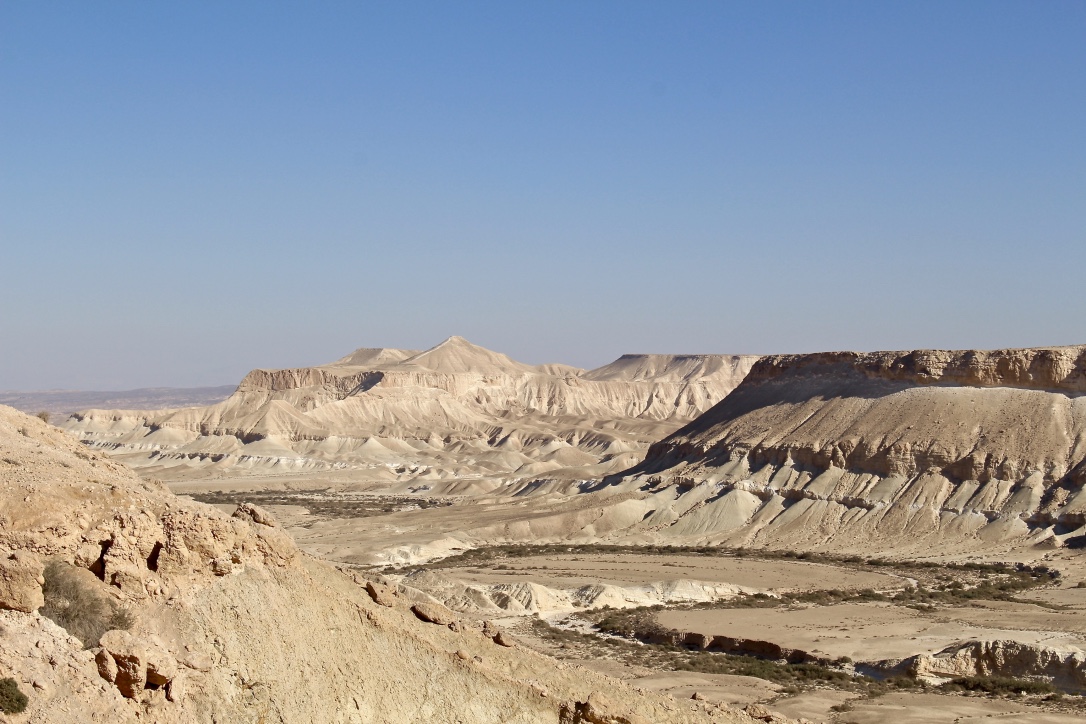
The Sde Zin valley, Israel
Credit: Stephanie Reiter
About the Author:
E-Mail: stereite@gmail.com


