A new synthesis from the Baltimore Ecosystem Study shows that residents with greater land and water cover in the Metropolitan Baltimore, Maryland area were less likely to perceive environmental problems. This study shows how linking ecological data and survey data can lead to better understanding of environmental impacts.
by Adriane McDonald, graduate student at UCSB and the Santa Barbara Coastal LTER
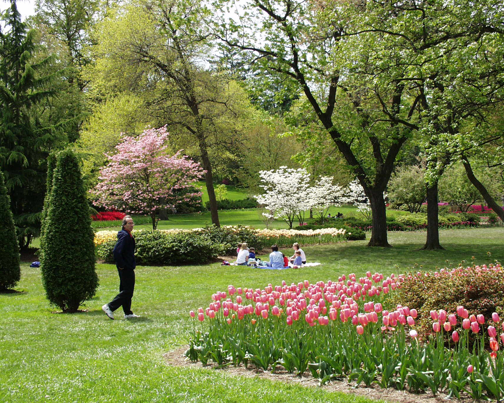
Credit: Baltimore Ecosystem Study, CC BY-SA 4.0.
Green spaces are known to have a positive impact on mental health and happiness by encouraging social interaction and physical activity, which can reduce symptoms of depression, anxiety, diabetes, and cardiovascular-related illness. Although the health benefits of green spaces are well-known, access continues to be inequitable and an environmental justice issue.
It is clear that the presence of outdoor spaces in neighborhoods is crucial to consider for urban planners, and a new study from the Baltimore Ecosystem Study (BES) provides further evidence of this importance: Residents had a more positive view of their neighborhood’s environment if ample green space was nearby. Dr. Amanda Suchy, lead author of the new paper, and a team of 8 other researchers identified that a resident’s land cover or proximity to water was negatively associated with residents’ perception of environmental problems. In other words, residents closer in proximity to bodies of water or with more green in their neighborhoods were less likely to perceive environmental problems with their nearby outdoor spaces.
An individual’s perception of their environment affects how they may interact with it. For example, if someone perceives their nearby park to be dirty or unsafe, they will be less likely to use that space. Residents dissatisfied with their local lakes, parks, backyards, etc., may limit their engagement and miss the many benefits of green space. The results of this study, though, suggest that residents in neighborhoods with greater vegetation cover overall are less likely to perceive environmental problems. The results suggest that the mere presence of green spaces may lead to residents using green spaces more frequently, gaining the health and community benefits as a result.
More land and water cover led to decreased likelihood of perceiving environmental problems
Through their analyses, Dr. Suchy and team discovered that when living in areas with more vegetation cover, residents of Metropolitan Baltimore were less likely to perceive environmental problems. Just as the publication title states: more green, fewer problems. Tree canopy, grass, shrub, and wetlands were all included underneath the umbrella of vegetation cover. This result supports their original hypothesis and agrees with previous findings of green spaces increasing neighborhood satisfaction and happiness.
Water cover also showed a similar relationship to perception, where residents living closer to bodies of water were less likely to perceive environmental problems overall. They were, however, more likely to perceive problems specifically related to water quality. “We were surprised that water cover had an effect [on perception] and similarly surprised that it had the reverse effect on water quality,” Dr. Suchy stated. From this, more questions emerged about what the driving force could be behind these results. Are people recreating more on water if they live closer to water bodies and thus being more keyed into water quality issues? This could also possibly be explained by the types of water bodies that are present in or near Baltimore, one of which is ecologically and economically important, yet notorious for poor and declining water quality: the Chesapeake Bay. The Chesapeake Bay is the largest ecosystem of its kind in the United States but has been in decline due to nutrient pollution since the 1950s. Residents close to the watershed might be more tuned in to water quality issues, leading to their increased perception found in this study.
It is important to note that all trends discussed held up within income classes. The relationship between land cover and environmental perception remained when only looking within an income category. “We really wanted to be careful that we weren’t substituting vegetation cover for socioeconomic status or income,” Dr. Suchy explained, “so we did that by including the demographic as controls in our models.” Additionally, while the strength of the trends was different for black and white residents, the direction of the effect remained the same. The relationships were found to be stable over a 15-year time period, which indicates that green spaces are good investments in communities overall.
Connecting environmental and survey data can lead to better understanding of environmental impacts
As an urban site, BES has a unique opportunity to provide perspective on the relationship between people and their environment that other sites do not have. This is important in a diverse area such as metropolitan Baltimore where rural, agricultural, suburban, and urban land sit in close proximity. The long-term survey datasets collected by the BES are different from most other ecological data collected at LTER sites yet were essential to accomplish this goal. The BES conducts household telephone surveys throughout the Baltimore metropolitan area as part of its core sampling. These surveys use the geographic location of each household to collect spatially explicit data and are distributed in a way to be able to represent the demographic and socioeconomic composition of the population. These data, when paired with environmental measures, are key to linking social aspects of Baltimore to underlying environmental trends, as this study shows.
This study exemplifies the types of analyses that long-term data makes possible–and there’s still so much more that can be done with the datasets used. Dr. Suchy described the roadblocks the team encountered when linking survey data with environmental measurements such as water quality. As more studies attempt to link environmental data with survey data, it would be beneficial to explore more efficient ways to merge these data streams. Linking these different types of data could help researchers and urban planners better understand the impacts of the environment on individuals and communities, and vice versa.