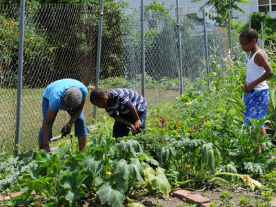
Pioneering Urban System Science
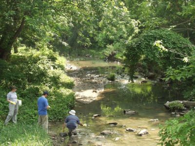
Understanding Urban Watersheds
Recognizing Social Feedbacks
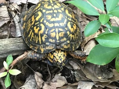
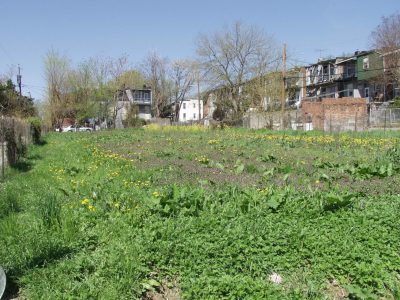
Unexpected Urban Biodiversity
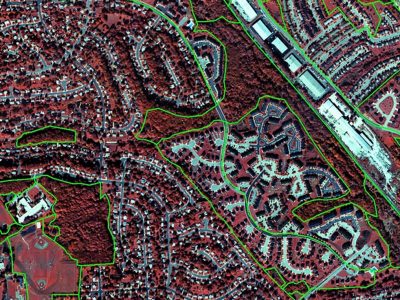
Mapping Urban Lands
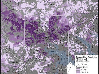
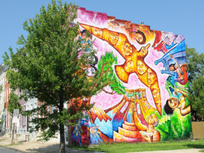
Perceptions of Justice
Top Stories

The caddisfly stole my heart

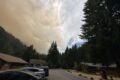
Studying post-fire Snowpack at the H.J. Andrews Experimental Forest

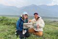
Summer Network-wide Postcard Exchange
What would my project be?
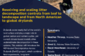
ILTER Webinar: Resolving and scaling litter decomposition controls from leaf to landscape
Lessons from Long-Term Data: An ARETs Experience at the H.J. Andrews LTER
Invisible Impacts Symposium
Clotheslines, Hair Ties, and Tape Measures: Low Tech Tools for the Win

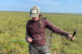
Voices of the Forest: Frog Bio-acoustics in the LUQ-LTER
Help shape the ILTER Open Science Conference!