This post is part of the LTER’s Short Stories About Long-Term Research (SSALTER) Blog, a graduate student driven blog about research, life in the field, and more. For more information, including submission guidelines, see lternet.edu/SSALTER
Walking down the marshy runway
When I try to explain my research as a graduate student with the Georgia Coastal Ecosystems LTER, some people first think that “salt marsh modeling” refers to influencer-like photoshoots of wetlands. While I do get to take some amazing photos of our coastal ecosystems, that is usually a side-project. The “models” I refer to are better described as numerical computer programs or tools. We build these programs with data from measurements and samples we collect in the field, and then use them as a tool to describe some ecosystem component or process. One way to think about these models is that they’re a great way to summarize complex ecological interactions or expand the findings of our research. In short, these are the step between collecting data and understanding why ecosystems act they way they do!
Credit: Kyle Runion, CC BY-SA 4.0.
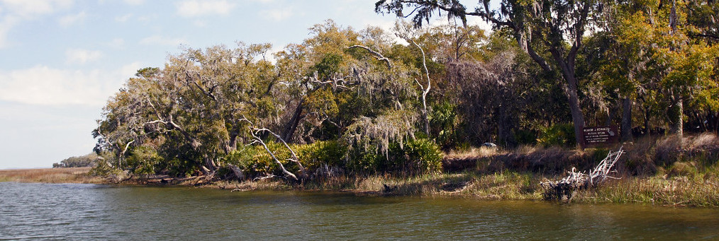
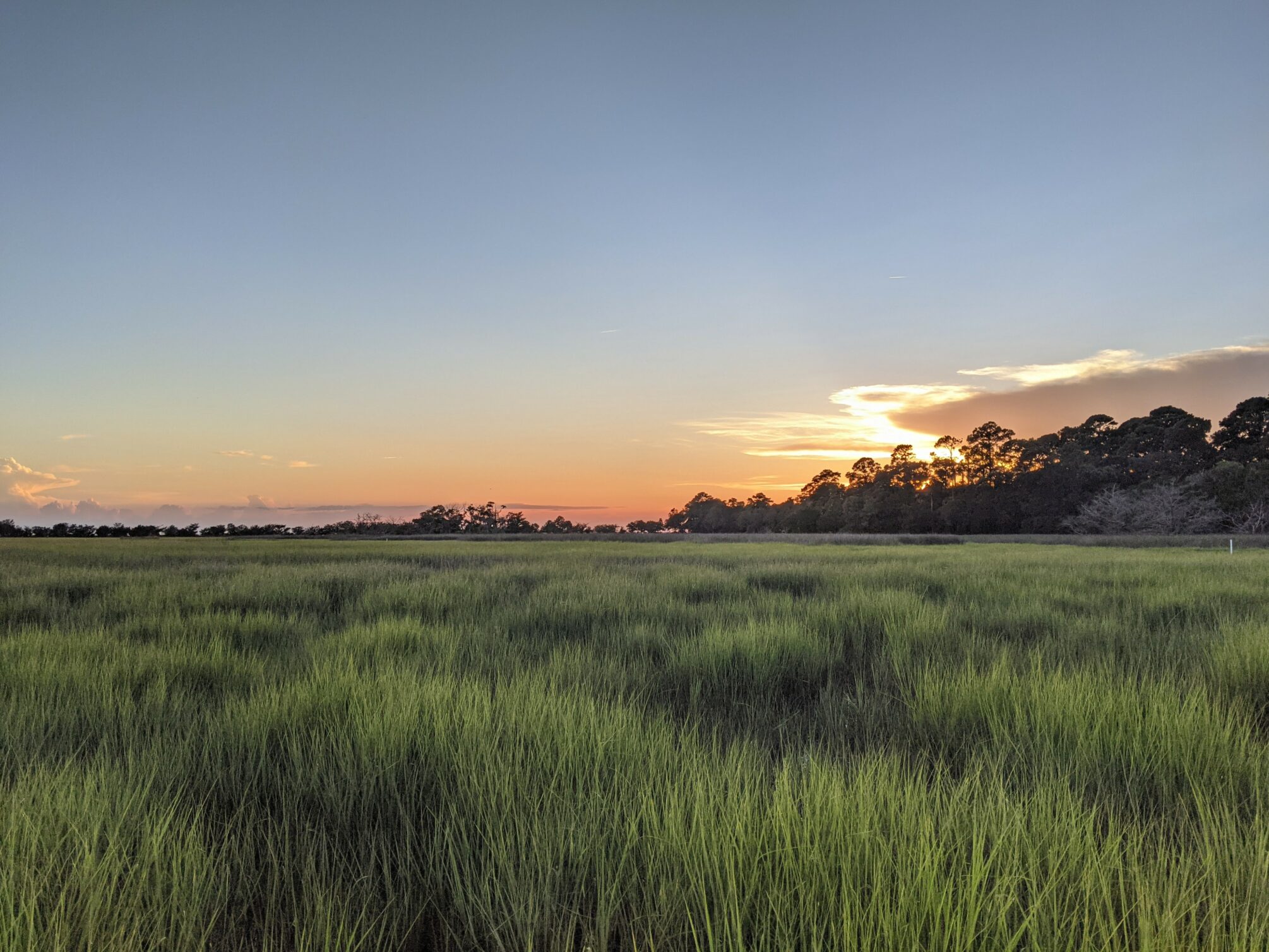
Marsh is love, marsh is life
Hopefully the “salt marsh” part of my research is familiar to readers. I find that folks generally appreciate how important these ecosystems are to support healthy fisheries and habitat, and to alleviate coastal flooding and shoreline erosion. What might be less well-known is how vulnerable these ecosystems and their plant life are. We know that salt marsh plants face stressors like sea level rise, drought, and excess nutrient runoff. What is more difficult to predict is the localized response to these stressors. Though salt marshes can look similar over football-field distances, small differences in attributes like elevation can drastically change the conditions they experience and how plants respond. How are we to understand their condition and fate if every spot on the landscape acts differently?
Credit: Kyle Runion, CC BY-SA 4.0.
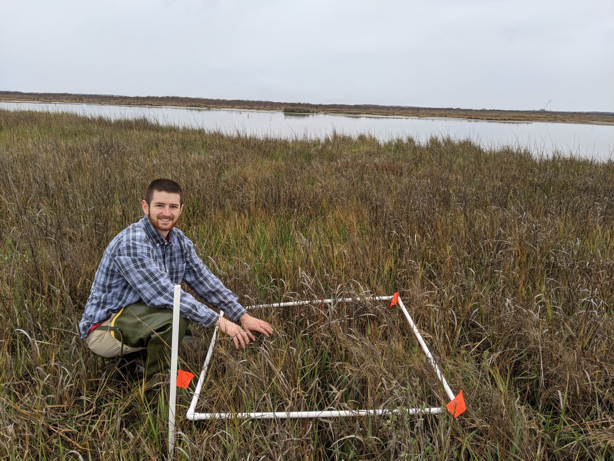
We have the tools!
Enter ecosystem models. By measuring plant health at different locations in a marsh, we can begin to describe how these small differences impact the marsh. For example, my fieldwork consists of taking plant measurements from the marsh edge (near the coastline or a creek) to the marsh interior (near the transition to upland). This serves as “ground truth” data to help me describe that range of plant responses. I can then tie those plant attributes and responses to other types of data like satellite imagery and tide information. By doing this, I can now apply these models I’ve built to areas where we haven’t been before to estimate marsh health and resilience across the landscape. Basically, these models allow us to expand our knowledge from just the areas we’ve visited and measured plants at to the entire marsh. It feels like a superpower to have a tool that has so much insight!
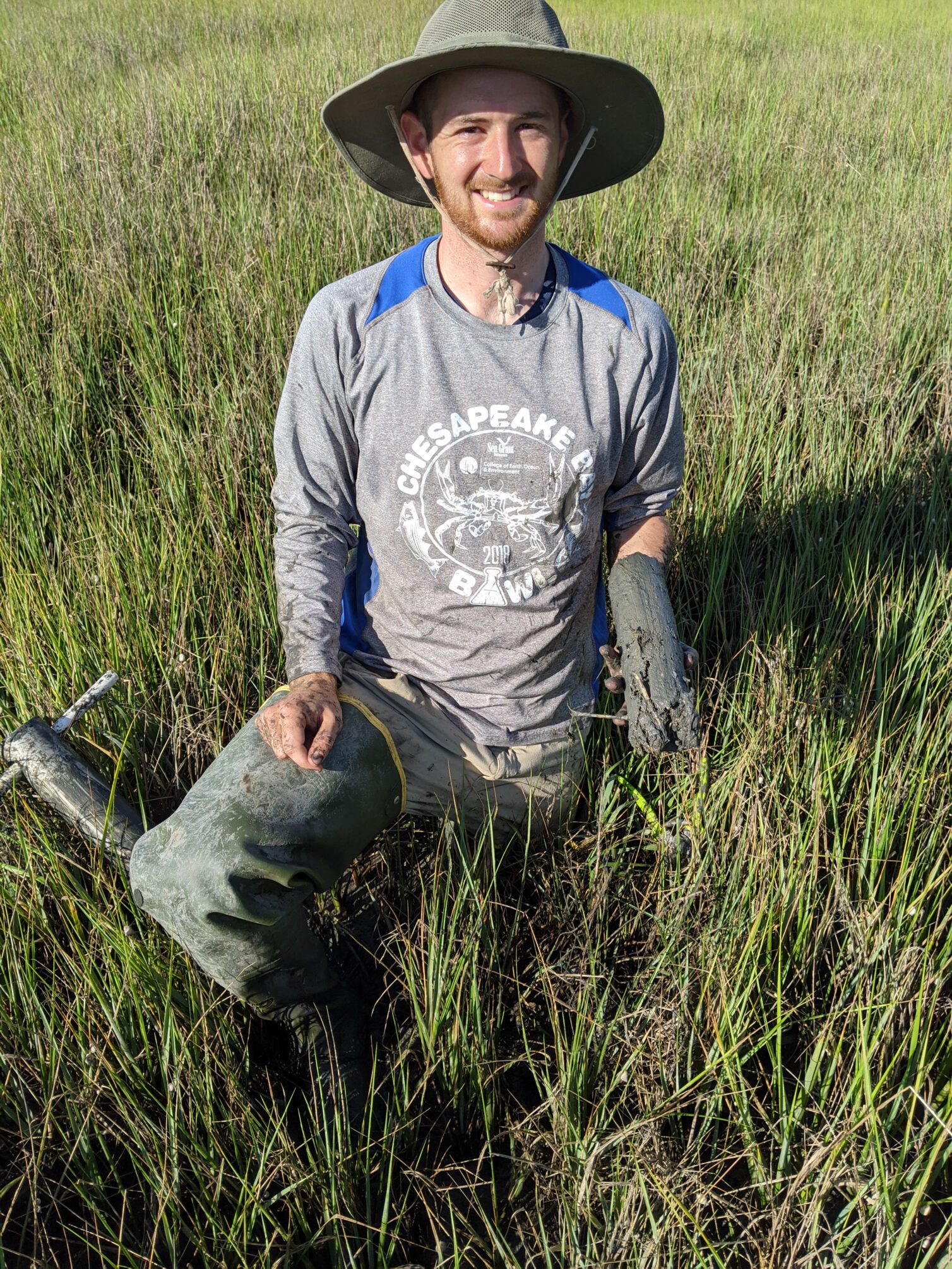
But, with great power comes great responsibility
But, to be able to trust what these models are telling us, we need to take a lot of care when building them. Sure, computers can do the heavy lifting of the math and statistics required for these numerical models, but some expertise is required for the decisions along the way. It’s our responsibility to make sure the model is built and calibrated with a wide range of ground truth data, for example. This way, we aren’t trying to describe plants outside of conditions we’ve seen. Say the model understands that plants like rain. In salt marshes, it flushes out excess salt and provides fresh water and nutrients from coastal runoff. But, too much rain can also lead to reduced sunlight and as we all know, flooding, which can reduce plant growth. So, we take measurements of marsh vegetation over long periods of time to try and catch all of the different conditions they face seasonally and year-to-year.
In the end, my research and these models can help us understand salt marsh stressors and health, and lead to smarter management actions like conservation and restoration!
Kyle Runion (he/him) is a PhD Candidate in the Department of Marine Science at the University of Texas at Austin, and a graduate student researcher at the Georgia Coastal Ecosystems LTER. His research focuses on assessing landscape-scale salt marsh resilience through remote sensing-based productivity models. You can see more of his research and outreach at https://www.linkedin.com/in/kylerunion/.


