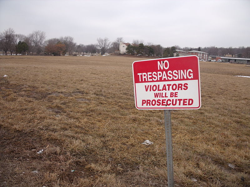
Credit: Rutebega. CC BY-SA 3.0.
In the digital age, while public access to information about parks and public land conservation is readily available, records on private-land conservation remain incomplete and inconsistent. To reveal the reasons behind the gaps in data on private-land conservation, LTER-funded researchers analyzed maps and documents, and conducted interviews focused on four major private-land conservation policy programs: conservation easements, contract payments, property-tax incentives, and regulatory mitigation.
According to their research, one of the main factors driving restrictions on data availability are concerns about landowner privacy on private property. Dissemination of information, according to landowners, can often be more damaging than helpful. A common fear is that developers will use public data to target undervalued private properties. Other concerns come from prior agreements to withhold information and maintaining power dynamics between landowners and conservation organizations. Moreover, conservationists are wary of inciting a debate about private property rights, which raises fears of government intrusion and overbearing environmentalism.
The case studies also reveal gaps in organizational labor capacity and in the flow of monitoring data, especially for underfunded, dispersed, or devolved conservation organizations. For instance, maps of conservation easements have traditionally varied in their accessibility to the public because they are held by thousands of organizations with different data-sharing policies. Only a handful of state governments require centralized records of private land conservation efforts, which necessitate extra and specialized labor. Facilitation of fine-scale mapping of conservation records, however, is important because it can improve conservation targeting and understanding of small-scale environmental outcomes.
Access to private-land spatial data can contribute to evaluating programs and entities that help conserve the environment and is helpful to making natural resource management decisions for conservation planning. This research suggests the need for increased organizational capacity for mapping, as well as for a better integration of data networks. In what may be a greater challenge, this research also suggests that the complex political and administrative contexts for conservation programs are characterized by conflicting goals across spatial and temporal scales, making conservation efforts especially difficult to document.
Rissman, Adena R., et al. “Public access to spatial data on private-land conservation.” (2017). doi.org/10.5751/ES-09330-220224


